
Brazos County Neighbors by Block
The public record shows several layers around a Brazos County address. GIS is best for parcel shape, roads, city limits, and nearby polygons. BCAD supplies appraisal-owner and parcel fields. The County Clerk index supplies recorded title instruments. Dated voter material is a named-person route with protections, and historic directories can add an older street listing. Each layer answers a different question, so adjacent lots should be logged separately rather than folded into one supposed household.
| Source | What It Shows About a Block | Access |
|---|---|---|
| Bryan Streets, Properties & Address GIS | Target parcel, adjacent parcels, streets, city limits or ETJ, and historical imagery | Public interactive map; subject to the map disclaimer |
| County GIS and BCAD path | County map context, roads, political layers, parcel and appraisal route | Public map directory; property questions route to BCAD |
| BCAD parcel search | Owner/account, situs and mailing fields, legal description, lot or block, value and tax year | Public search; no verified ZIP filter or historical cutoff |
| County deed index | Recorded neighbor title chain, parties, plats, liens, and releases | Public index; images or cart can require an account or payment |
| Voter lookup or roster | Dated registration status for a named person | Name lookup or dated roster; no verified public block-search mode |
| Directory street section | Earlier listed addresses and nearby historical entries | Carnegie, state-library, university, and archive holdings |
A map can show geometric adjacency. It cannot prove a shared household, a personal relationship, or who currently lives in either property. The owner in an appraisal record may have a different mailing address, and the person in a historical directory may have a different role or date.
Brazos County Neighbor Parcel Flow
Begin on the Bryan GIS application directory, then open Streets, Properties & Address or the relevant city map. Search or pan to the address, select the target feature, and note the parcel shape, nearby polygons, road names, city limits or ETJ layer, and any shown subdivision or lot information. The official research did not verify a radius, buffer, or automatic export control, so a block search should not promise one.
The Bryan GIS application directory is the source for this Brazos County neighbors image.
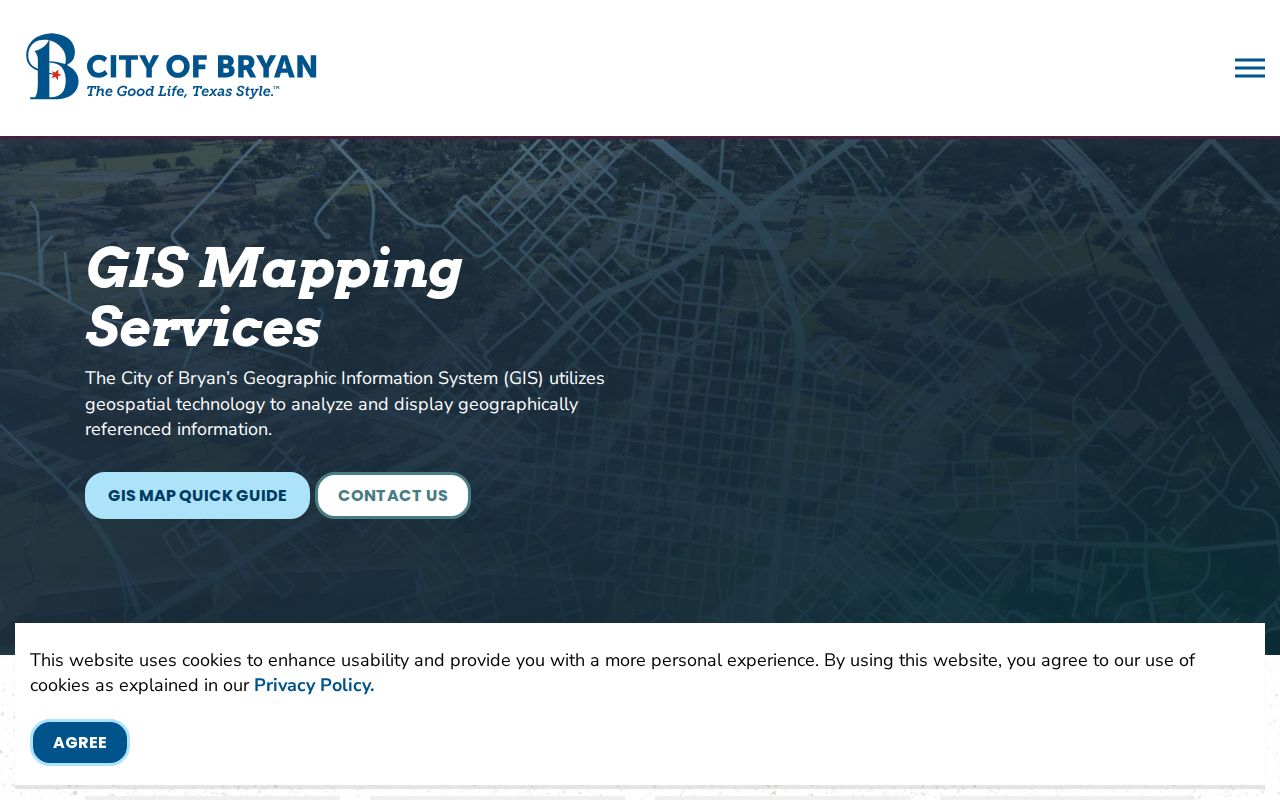
The directory leads to address, parcel, imagery, cemetery, planning, and NAPP layers. It provides the map portion of a block trail, not legal title or a roster of occupants.
- Write down the target address, USPS-normalized form, city or ETJ context, and parcel or geographic ID.
- Record each immediately adjacent parcel ID and its map relationship to the target, without assuming the parcels share a household.
- Search each parcel independently in BCAD and keep owner, situs, mailing, legal description, and tax year in separate fields.
- Use the deed index to test recorded ownership, then use dated directories or other historical sources only for the period being researched.
Brazos County Neighbor Ownership Checks
The BCAD search offers owner, address, property ID, geographic ID, subdivision, neighborhood, tax-year, and other appraisal-oriented fields. Its record categories include owner and owner ID, mailing address, physical or situs address, legal description, lot or block, values, exemptions, and characteristics where displayed. Use the owner and tax year as a record clue. A property card is not a legal-title decision or a current-occupancy list.
For recorded title, move from the parcel's legal description to the County Clerk's official-records search. Party names, grantor, grantee, lot, block, legal description, document number, book, volume, page, and recorded or instrument dates help connect the instrument to the parcel. A map popup should not be cited as a deed, and a deed party should not automatically be presented as a current neighbor.
The map-to-record handoff is deliberate: address to GIS, GIS to parcel identifier, identifier to BCAD, then legal description and parties to the deed index. The Brazos County street directory follows the longer named-street chain when the search needs more than the immediate block.
Brazos County Neighbor GIS Boundaries
Brazos County GIS provides roads, bridges, location data, GPS monuments, and general map reference. Its map materials may contain errors and are not legal documents. The County GIS map directory also points to political and precinct maps, BCAD interactive mapping, Bryan GIS, and College Station GIS. Use a city-limit or ETJ layer to route a city record correctly, but do not let that boundary substitute for a parcel record.
The county GIS page is the source for this Brazos County neighbors image.
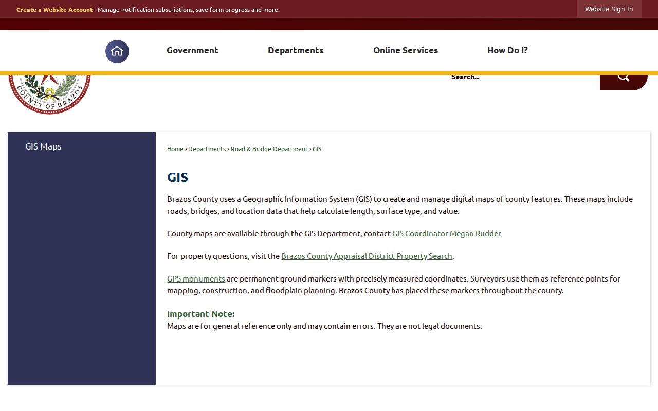
A property may carry a Bryan or College Station mailing label while sitting in an unincorporated pocket, ETJ, or edge ZIP. Keep the map source's city or boundary interpretation separate from the original postal label. This matters when a permit, cemetery, or city request is being matched to a nearby parcel.
Brazos County Neighbor Voter Layer
The Texas My Voter Portal is a named-person search using name, county, date of birth, and ZIP. It can provide a registration-status check and related election information for a defined search date. Brazos County roster archives are dated files. Neither route is a public map of everyone on a block, and no official interactive street or ZIP voter-search mode was verified.
Protected addresses are a hard stop. Eligible people can have residence information suppressed through Secretary of State and address-confidentiality processes. Do not reconstruct a protected address by combining an old roster, deed, GIS polygon, or another source. Voter information also has statutory use limits, and election participation is not a statement of a person's candidate choice.
A full voter-file request is a different channel, subject to the Secretary of State form and Texas Election Code Chapter 18. It does not transform the ordinary portal into a block lookup. Treat a not-found result as a possible spelling, date, county, status, protection, or timing issue rather than a definitive absence.
Brazos County NAPP Map Context
Bryan GIS includes a NAPP layer for neighborhood and homeowner-association geographic context. It can help identify the association or area around a parcel. The official material inspected did not provide a complete member roster, a universal association contact form, or a basis to infer membership from an address. NAPP therefore belongs in the map notes, not in a list of people who live on the block.
| Neighborhood contact route | What it can establish | Limit |
|---|---|---|
| Bryan GIS NAPP application | Association or neighborhood geography around a parcel | No complete member roster was located |
| An identified association's own public page | Public contact information when the association itself publishes it | Address alone does not establish membership |
| City Secretary records request | Existing, dated city records tied to a known association or address | Requests cannot require the city to create a neighborhood list |
Community context can also appear in Carnegie archives, Project HOLD oral histories, newspapers, cemetery material, and Cushing or Bryan City finding aids. A dated historical mention is not proof of current affiliation. No complete public block-watch, congregation, fraternal, or association roster was located in the official research.
Brazos County Neighbor City Cases
Address-keyed permit and code material can explain activity at a parcel without identifying a household. Bryan's code-enforcement route is divided into 10 zones, and complaints produce cases within 48 hours after a complaint according to the city. Public nuisance timing can be longer. The page describes a service route, not a complete searchable neighbor register; active or investigative material can be limited or redacted.
The Bryan code-enforcement page is the source for this Brazos County neighbors image.
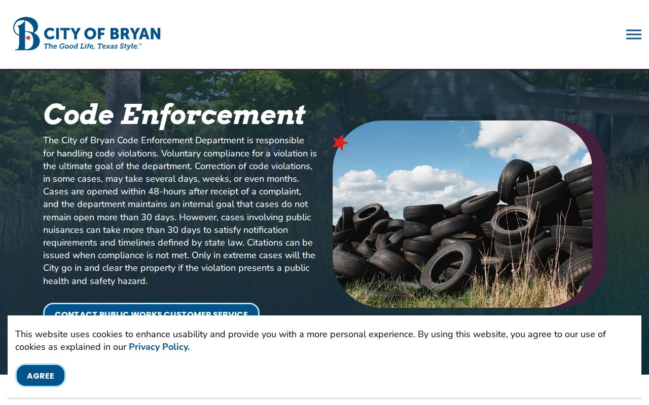
For a specific existing city record, use the address, known date range, and case or record type. Bryan Citizenserve and College Station eTRAKiT have permit and project routes, but the official research did not verify a complete anonymous public result schema. A city record should be routed to the city only when the event belongs to that city.
Brazos County Neighbor History Clues
Historical imagery can show block change without identifying residents. Bryan GIS lists 1936 and 1940 imagery, then 1964, 1971, 1973, 1979, 1988, and later dates through 2024. Compare an image date with the parcel, deed, and directory date to distinguish a continuing structure from a replacement building. An aerial roof is building evidence only.
Bryan's cemetery resources add a different kind of historical clue. Oakwood was established in 1923, while Yellow Fever or Old Bryan is an inactive cemetery connected with nineteenth-century public-ground and outbreak history. An interment or plot can lead to a dated name or landmark. It does not establish the last residence of the person buried there.
The Bryan cemetery page is the source for this Brazos County neighbors image.
Pair a cemetery, newspaper, archive, or directory clue with its date and source. That protects the difference between local history and a current block record.
Brazos County Neighbor Sources Compared
Official sources and commercial neighbor-lookup tools serve different purposes. A public map supports geometry, an appraisal roll supports parcel-account research, a deed supports recorded title, and a dated directory supports historical context. Commercial services can combine parcel extracts, old directory data, marketing information, and user-submitted material. That mix can create duplicate names, stale addresses, and unrelated adjacent entries.
| Source type | Best use around a block | Key caution |
|---|---|---|
| Official GIS and county map | Parcel geometry, roads, boundaries, and map context | General reference, not a legal title document |
| BCAD and deed index | Appraisal owner fields and recorded title trail | Owner, title, and occupancy are different questions |
| Dated official or archive source | Registration snapshot, directory entry, cemetery, or history clue | Represents a particular date and role |
| Commercial neighbor tools | Broad leads that require independent verification | May combine stale, duplicated, or unrelated data |
Start with official local sources, preserve their dates, and verify recorded ownership from the custodian when it matters. A source should be described by what it actually records, not by what a user hopes it will prove.
Brazos County Neighbor Privacy Limits
A parcel-owner list is not a complete list of Brazos County neighbors. Unnamed household members, utility customers, delivery details, protected voter addresses, restricted motor-vehicle information, active investigative material, and sealed, juvenile, or adoption records remain private or uncertain. Texas address-confidentiality and voter-suppression rules protect qualifying people, and a public record must never be joined with other material to defeat those protections.
Public-information requests seek existing records. A narrow request should identify a known address, date range, and record type. It should not ask a county or city to compile a block directory. If a map, appraisal record, or deed conflicts with another source, preserve the conflict and verify it with the office that created the record.
Lawful use. Use Brazos County neighbor records for lawful personal research and civic curiosity. Public information never authorizes stalking, harassment, intimidation, or harm.
Note: Map proximity shows a spatial relationship, while a dated record can show a separate historical fact; neither alone proves a present household connection.