
Following a Brazos County Street
A practical Brazos County street directory workflow moves from a verified delivery line to records keyed to land. Start with USPS so the street, unit, city, state, and ZIP are normalized. Then locate the road and parcel in County or Bryan GIS. The parcel supplies the geographic and legal clues that make the appraisal roll and title index more reliable than a bare street-name search. Each result needs a date because an address may outlive a change in owner, a changed street name, or even the structure itself.
- Use USPS By Address to normalize the street line and ZIP. A USPS result confirms delivery formatting, not that a person is present.
- Find the road and parcel in the appropriate GIS viewer. Record the parcel or geographic ID, city-limit or ETJ layer, and legal-description clues if shown.
- Search BCAD with the street number and street name. Review owner, situs, mailing, tax-year, and legal-description fields as separate facts.
- Use the County Clerk index to search the owner, grantor, grantee, subdivision, lot, block, and legal description. Compare instrument and recorded dates.
- For dated residence evidence, use the voter route where lawfully available and the historical street sections held by local libraries and archives.
The order matters. BCAD provides an appraisal account, GIS provides location context, and the deed index provides recorded title. None alone is a complete list of the people at a Brazos County address.
Normalize a Brazos County Address
The USPS ZIP Code Lookup offers By Address, By City and State, and Cities by ZIP modes. Its address form uses a required street address, optional company and apartment or suite fields, city, state, ZIP Code, and a Find control. USPS can return a recommended or recognized city name. That is useful for matching an address across sources, especially near Bryan, College Station, and rural post-office communities.
USPS also warns that a ZIP result does not prove a person or company is at an address. Preserve the normalized delivery line beside, rather than in place of, the BCAD situs and legal description. A unit number can matter for delivery, while it does not belong in BCAD's Street Name field. Note: Postal normalization reduces mismatched searches, but it does not establish current occupancy or municipal jurisdiction.
Brazos County Appraisal Street Fields
Brazos Central Appraisal District, or BCAD, supports By Owner, ARB Search, and Advanced modes. It is the local starting point for a parcel or appraisal account, not a legal-title or occupant database. On a street search, enter the number in Street Number and the road words in Street Name. BCAD specifically directs users to enter Street Name with no prefix, suffix, or unit number. Begin broadly with a simple street name and use the advanced fields only when the first result set needs narrowing.
| BCAD field | Input | How it narrows a street search |
|---|---|---|
| Street Number | Text | Matches the address number. |
| Street Name | Text | Use no prefix, suffix, or unit numbers. |
| Owner Name | Text | Tests a name after a parcel has been found. |
| Property or Geographic ID | Text | Connects a known parcel to appraisal data. |
| Subdivision, Neighborhood, Abstract, Condo | Select or search | Helps distinguish similar street names. |
| Tax Year and appraisal fields | Select or date inputs | Keeps the appraisal cycle and protest context visible. |
BCAD lists legal description, situs location, ownership, property characteristics, value, and tax or appraisal data among appraisal-record categories. Its 2022 mass-appraisal report describes about 144,635 real, personal, and mineral accounts across 591 square miles and 15 taxing jurisdictions. It does not publish a verified online start year, and preliminary values can change during the Appraisal Review Board process. A current BCAD card does not prove that the owner occupies the parcel.
Map a Brazos County Street First
Brazos County GIS supplies roads, bridges, location data, and map context, while the County map directory links to political, notification, appraisal, Bryan, and College Station maps. County maps are for general reference and are not legal documents. Use them to find the parcel's place on the road, not to make a title finding. The City of Bryan viewer adds street, property, and address layers plus city limits and ETJ context.
For a Brazos County street directory search, save the road spelling, parcel or geographic ID, subdivision, lot or block, nearby parcel identifiers, and the city-limit or ETJ layer. A map selection is a handoff, not a final answer. Query each resulting parcel in BCAD and the recorded-index system independently. That avoids treating adjacent parcels as a shared household.
Brazos County Records by Address
Address-keyed sources in Brazos County have different keepers and different limits. The street directory value comes from comparing them, not merging them into a claim about every resident on a road. Parcel and title records are strongest for ownership. Voter and historic-directory evidence is dated and may be protected, incomplete, or absent. Permit and code systems add project or case timing, not a roster of occupants.
| Address record | Local keeper | What it can show | Access route |
|---|---|---|---|
| Appraisal roll | BCAD | Owner, account, situs, mailing, legal description, value, and tax year | Public owner, address, and advanced search |
| Parcel map | County or city GIS | Roads, geometry, parcel context, city or ETJ layers, and imagery | Public map, general-reference warning |
| Official records | Brazos County Clerk | Title instruments, parties, liens, releases, plats, and dates | Public index; images or copies can require account or payment |
| Voter records | Texas and Brazos elections offices | Dated registration information for a named person, subject to suppression | Portal or dated roster, with statutory limits |
| Permit or code file | Bryan or College Station systems | Project, review, inspection, complaint, status, or date clues | Public-search, account, PIA, or department route |
| Historic address source | Carnegie, TSL, UT, or Texas A&M | Directory, census, newspaper, map, or aerial context | Collection-specific library or archive access |
A parcel ID and legal description travel farther across these systems than a formatted street line. The County Tax Assessor-Collector and BCAD are separate offices, and a tax account answers a tax question rather than a complete ownership or occupancy question.
Brazos County Street Deed Searches
The Brazos County Official Records index starts with a Search Term that can cover grantor, grantee, subdivision, document type, or document number. Its Advanced search separates Party Names, Grantor, Grantee, recorded and instrument date ranges, document types and numbers, book, volume, page, lot, block, legal description, and document-image phrases. Search Index & Full Text can include OCR; Search Index Only is a narrower route.
The deed books begin in 1841, but the public portal does not state an online cutoff. For an early or missing entry, the fallback is the County Clerk counter, copies, or Carnegie and Texas A&M microfilm and archive holdings. Begin a chain with the BCAD or GIS legal description, then compare the newest grantee instrument with the prior grantor. Recording can lag a transaction, and probate, divorce, heirship, liens, releases, and plats can change the sequence without a straightforward sale.
A view of the Official Records advanced search is useful because it shows the distinct grantor, grantee, legal-description, lot, block, date, and document fields available for a Brazos County street directory title check.
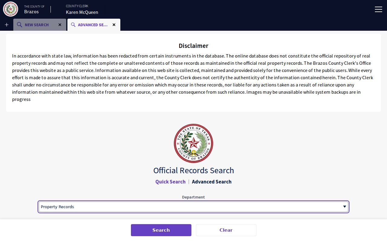
Use the form's separate date and legal-description fields to document the record trail, rather than relying on a street label alone.
- Parcel
- A mapped tract or property account used to connect an address with appraisal and land records.
- Situs address
- The physical location of a parcel. It is distinct from an owner's mailing address.
- Plat
- A recorded subdivision map that can establish lots, blocks, and the legal layout behind a street address.
- Criss-cross directory
- A historical directory arranged by street or address rather than only by personal name.
Brazos County Street Imagery Dates
Historical imagery is a distinctive local geography tool. Bryan GIS lists imagery from 1936, 1940, 1964, 1971, 1973, 1979, 1988, and later years through 2024. Compare a dated deed or directory entry with an image date to ask a narrower question: did the road alignment or building appear to continue, or was the structure replaced? Imagery can support parcel and building continuity, but it cannot identify an occupant.
Street names can change, and a house can burn, move, be removed, or be replaced. The local house-history method treats subdivision, lot and block, deed legal description, abstract, and geographic ID as more stable bridges. Preserve the historical spelling and printed house number beside the modern normalized address. The Brazos County city directory page addresses the surviving historical volumes and their irregular runs in more depth.
Permit Clues on Brazos County Streets
Municipal systems can add a date clue to a Brazos County street search. Bryan directs permit applicants and status users through Citizenserve for applications, review, inspections, and status. College Station uses eTRAKiT for permit, project, property, inspection, and license modes. The public field schema and search limits were not fully verified for either system, so a result should be treated as a project or case lead, not a statement about who lives at the address.
The City of Bryan permit page shows the local route to categories and Citizenserve for this portion of a Brazos County street directory search.
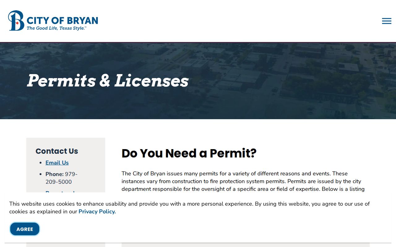
If a needed address dataset is not public, request an existing record by date range and case type through the relevant city route. Do not ask a custodian to create a new resident list.
Brazos County Street Index Clues
Quick search is useful after you have a name, subdivision, document type, or number from parcel work. The county interface includes optional start and end recorded-date fields, preset recorded-date windows, and a choice between index-only and index-plus-OCR scope. Registration, sign-in, and cart controls indicate that image access or ordering can involve an account or payment. The exact image price, export behavior, and online coverage cutoff were not verified.
This Official Records quick-search screen illustrates the party, subdivision, document-type, and document-number paths that can complement a street-based search.
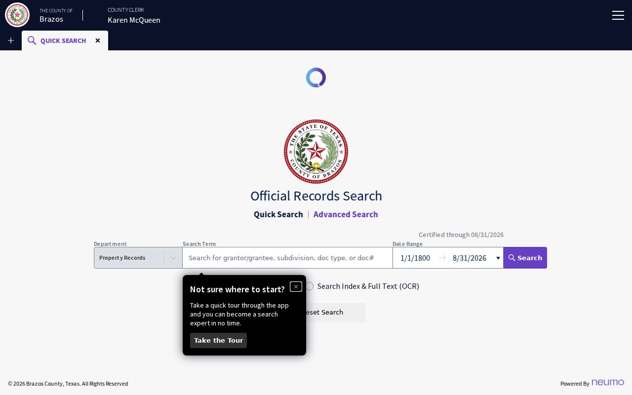
A returned instrument should be compared with the parcel's legal description and date before it is placed in a street history.
Limits of a Brazos County Street Directory
A street directory cannot establish every person at an address. BCAD may show an owner, mailing address, and parcel situs, but the owner may not live there. GIS is general-reference mapping, not a legal instrument. A voter result is date-specific and can be suppressed for eligible voters. Historic directories have irregular coverage, and their absence can mean an edition is missing rather than that a property was vacant. Utility-customer and protected motor-vehicle information are not public shortcuts.
Texas Election Code restrictions also govern voter-registration lists, and protected voter residence information must remain protected. When a record is incomplete or redacted, accept that limit and ask the actual custodian about a correction, redaction, copy, or access process that applies to the record type.