
Brazos County ZIP Code Coverage
The ZIP code directory begins with the postal areas documented for Brazos County, but no ZIP should be treated as a county line or a list of people. Standard delivery, PO Box, unique, and rural service contexts sit side by side here. USPS should make the final call for a particular street address. The two edge references, 77859 and 77868, need special care because their primary postal cities lie outside Brazos County and only an edge or partial service area may touch the county.
| ZIP | Areas Covered | Post Office | Notes |
|---|---|---|---|
| 77801 | Bryan | Bryan TX S&DC | Standard Bryan delivery. |
| 77802 | Bryan | Bryan delivery | Standard Bryan delivery. |
| 77803 | Bryan | Bryan delivery | Standard Bryan delivery. |
| 77804 | Bryan | Bryan delivery | Verify a specific address with USPS. |
| 77805 | Bryan | Bryan PO Box | PO-box-oriented, not a street-resident boundary. |
| 77806 | Bryan | Bryan PO Box | PO-box-oriented, not a street-resident boundary. |
| 77807 | Bryan | Bryan delivery | Standard Bryan or outlying area. |
| 77808 | Bryan | Bryan delivery | May touch rural county edges. |
| 77840 | College Station | College Station post office | Standard College Station area. |
| 77841 | College Station | PO Box or Northgate-related service | Do not map as a simple residential polygon. |
| 77842 | College Station | College Station PO Box | PO Box or unique delivery context. |
| 77843 | College Station | Unique institutional delivery | Not equivalent to a neighborhood boundary. |
| 77844 | College Station | PO Box or Aggieland service | PO-box-oriented context. |
| 77845 | College Station and Wellborn corridor | College Station delivery | Verify the individual address. |
| 77859 | Hearne edge | Edge or partial service area | Primary city is Hearne in Robertson County. |
| 77862 | Kurten | Kurten Post Office | Rural, PO Box, or general-delivery context. |
| 77866 | Millican | Millican PO Box or community service | Rural, PO-box-oriented ZIP. |
| 77868 | Navasota edge | Edge or partial service area | Verify because only a portion may touch Brazos. |
| 77881 | Wellborn | Wellborn Post Office | Rural, PO-box-oriented community ZIP. |
College Station's listed post office is at 2130 Harvey Mitchell Parkway South. Kurten and Wellborn are also distinct post-office labels, not interchangeable with a Bryan or College Station city label. Note: A postal-city label should remain separate from a parcel's county and municipal jurisdiction.
Brazos County Bryan ZIP Codes
Bryan is served through the 77801 through 77808 range, with 77805 and 77806 identified as PO Box-oriented routes. The distinction matters in ZIP code research. A PO Box code describes mail delivery to a box, not a street area where people can be located by the code alone. Standard Bryan delivery codes can also extend into an outlying setting, particularly around county edges, so a familiar city name is still not a parcel-boundary finding.
Use a Bryan ZIP as a first sort, then pass the street address through the official lookup. Once the delivery line is confirmed, County GIS and BCAD can connect it to a physical parcel. This avoids carrying a postal label into a land-record search as if it were a legal description.
Brazos County College Station ZIP Codes
College Station spans 77840 through 77845 in the local set. The codes include standard delivery along with PO Box and unique contexts: 77841 has PO Box or Northgate-related service, 77842 and 77844 are PO Box-oriented, and 77843 is an institutional or unique-delivery code. Those labels help explain a delivery route, but they do not define a neighborhood, a city-limit polygon, or a current household.
77845 is associated with College Station and the growing south College Station or Wellborn corridor context. Confirm each address because municipal city limits, ETJ, postal-city naming, Census geography, and county parcels can overlap without matching. This Brazos County ZIP code directory keeps the categories separate rather than flattening them into one map.
Rural and Edge Brazos County ZIP Codes
Kurten 77862, Millican 77866, and Wellborn 77881 preserve rural and post-office community context in a Brazos County ZIP code search. Kurten and Wellborn have post-office references, while Millican is a rural community and PO Box-oriented service. Retain the post-office community written in an older deed, directory, or map even if a current address search later uses a different municipal label.
77859 is primarily Hearne and 77868 is primarily Navasota. Official planning or legislative references show those codes at a Brazos edge, not as complete county assignments. Their geography is a local caution worth preserving: query USPS by the individual address before attaching either edge code to Brazos County records.
Verify a Brazos County ZIP Code
USPS ZIP Code Lookup is the authoritative delivery-normalization step. Its By Address mode takes a required Street Address, optional Company and Apt/Suite/Other fields, City, State, ZIP Code, and Find. By City and State accepts city and state, and Cities by ZIP accepts a ZIP Code. The response may supply a recommended or recognized city name. That result should be saved with the date of the query when a ZIP question depends on a boundary edge or unit number.
The USPS lookup screen shows the three official modes used to check an address, city/state combination, or ZIP within a Brazos County ZIP code directory search.
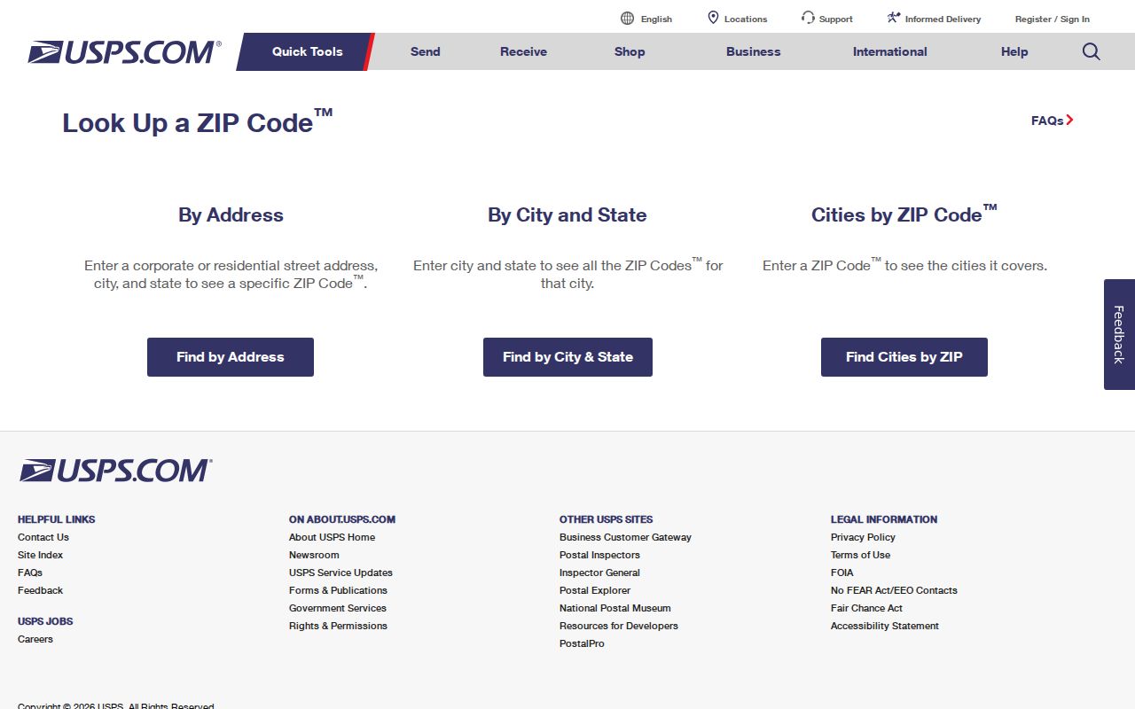
USPS warns that a ZIP result does not confirm a person or company at an address. It establishes delivery information, which must remain distinct from occupancy evidence.
Search a Brazos County ZIP Code
A ZIP can narrow an address workflow, but the documented local systems do not provide a verified public resident-by-ZIP search. BCAD Advanced has street number, street name, owner, subdivision, neighborhood, property or geographic ID, tax year, and appraisal fields, yet the inspected interface did not show a ZIP field. The deed index is also not visibly ZIP-keyed. Use a ZIP to normalize an address, then use the property and title keys returned by the address search.
- Verify the postal line and ZIP with USPS, including the unit where applicable.
- Locate the street and parcel in County, Bryan, or College Station GIS and record the city-limit or ETJ context.
- Search BCAD by street number and street name, then preserve the situs, mailing address, parcel or geographic ID, and legal description as separate fields.
- Search the deed index with the resulting party name, subdivision, lot, block, or legal description. Compare recorded and instrument dates.
- For a named person, Texas My Voter Portal can use name, county, date of birth, and ZIP to narrow a status lookup, subject to protection and use limits.
When the ZIP has narrowed the place to a particular road, the Brazos County street directory provides the address-led parcel and deed sequence. It is the appropriate handoff for a full street-level record trail.
Brazos County ZIP Lookup Fields
USPS Address Lookup and AIS data covers five-digit ZIP, ZIP+4, carrier route, county, and delivery-point data. AIS is updated monthly and its data cannot be exported from the service. That is why a current USPS query is more reliable for delivery normalization than a static graphic or a third-party ZIP list.
| USPS mode | Fields | What the result supports |
|---|---|---|
| By Address | Street Address; optional Company and Apt/Suite/Other; City, State, ZIP Code | A normalized delivery line and ZIP result |
| By City and State | City and State | Postal lookup within a named locality |
| Cities by ZIP | ZIP Code | Recognized city naming for that code |
| AIS data | Address Lookup data | ZIP, ZIP+4, carrier route, county, and delivery-point context |
The USPS AIS description is the source for the delivery-data categories shown here.
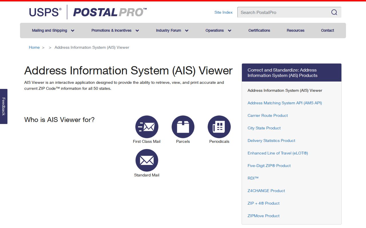
Use those fields to check the address that is actually being researched, rather than assuming an entire ZIP has one uniform delivery or jurisdictional meaning.
Separate Brazos County ZIP Geographies
Brazos County GIS Maps points to county political and notification maps alongside linked appraisal and city GIS resources. GIS supplies parcel, road, city-limit, and ETJ context, while USPS supplies delivery formatting. Neither should be substituted for the other. A BCAD mailing line may differ from the parcel situs, and a City of Bryan or College Station layer may not match the postal city returned by USPS.
The County GIS directory image shows why this local handoff matters: records research often moves among county layers, city layers, and BCAD rather than relying on a ZIP boundary alone.
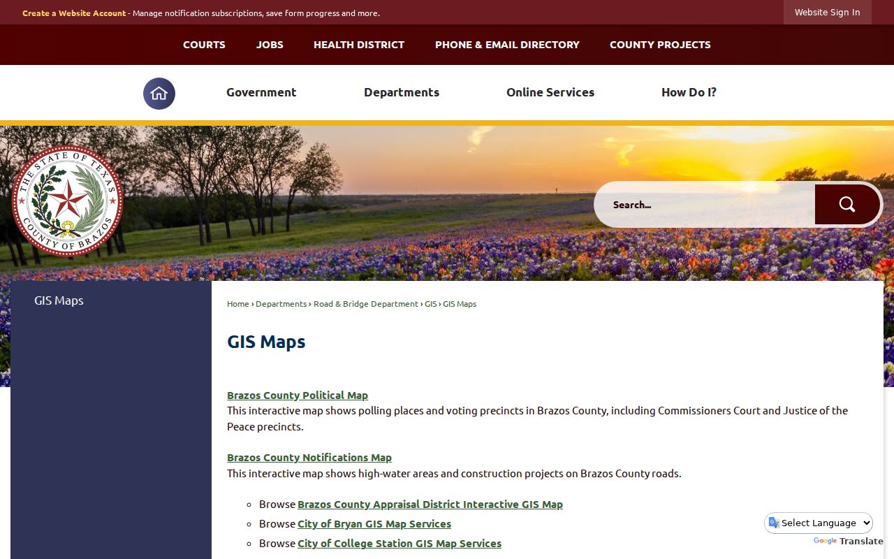
Record the layer name and date when comparing a city limit, ETJ, precinct, postal city, or parcel. A ZIP is a delivery tool, not a substitute for those separate geographies.
- ZIP Code
- A USPS delivery code used to sort mail to an address or delivery route.
- ZIP+4
- An added four-digit segment that refines delivery beyond the five-digit ZIP.
- PO Box ZIP
- A code associated with box delivery, which is not a street-resident boundary.
- Unique ZIP
- A code used for a specific institution or delivery context, not a neighborhood polygon.
- Carrier route
- A delivery-route identifier used with address data; it is not a parcel boundary.
Brazos County ZCTAs and Delivery
Census ZIP Code Tabulation Areas, or ZCTAs, are useful for statistical context but are not live postal rules. The Census constructs them from whole blocks and the most common USPS ZIP in a block. A ZCTA can differ from a current delivery boundary, include noncontiguous area, or represent a PO Box-only or unique-delivery setting. Contact USPS when the ZIP for a specific address matters.
Census ZCTA guidance illustrates the difference between statistical approximations and live ZIP delivery geography.
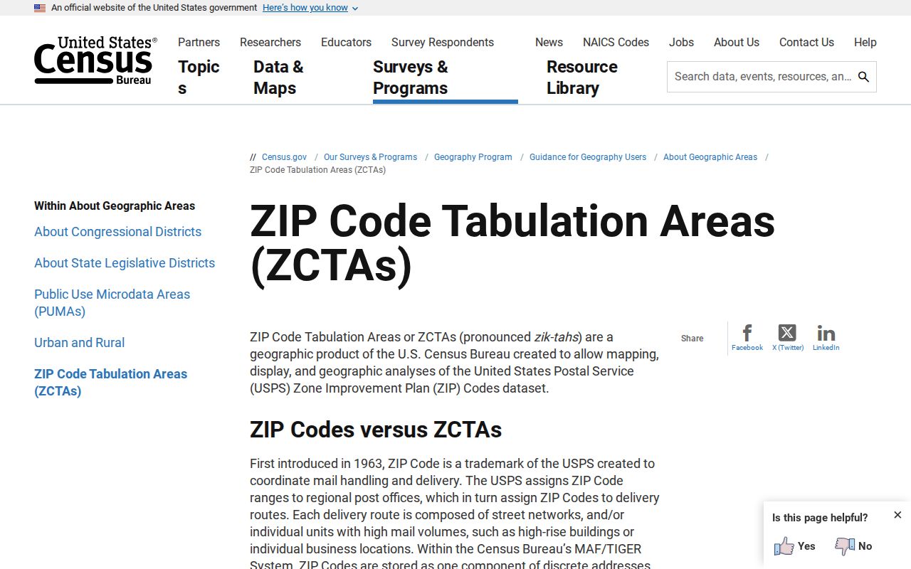
A Census geography can help describe an area, but USPS remains the final verification channel for delivery details at a Brazos County address.